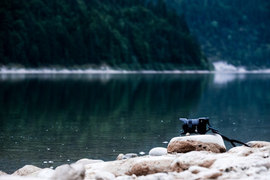
Travel Guide of Sylvenstein Dam in Germany by Influencers and Travelers
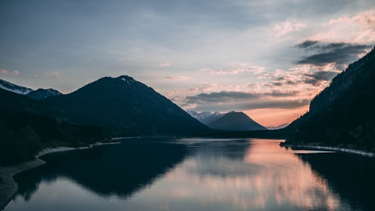
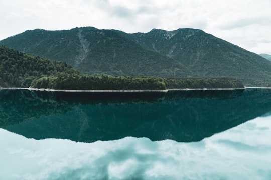
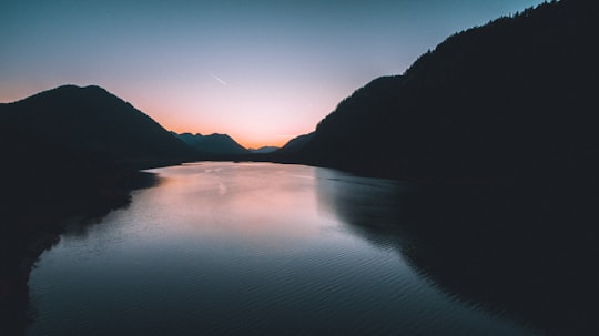
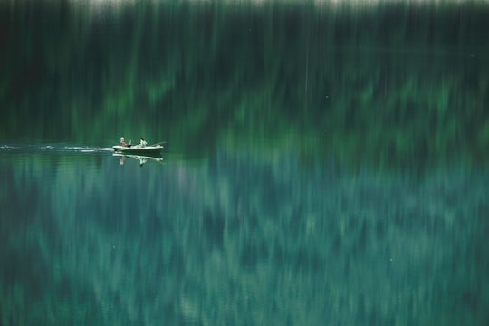
Sylvenstein Dam is an earthen embankment dam in the Isar valley, in the alpine part of Upper Bavaria, Germany which impounds the Sylvenstein Reservoir.
Download the Travel Map of Germany on Google Maps here
Pictures and Stories of Sylvenstein Dam from Influencers
6 pictures of Sylvenstein Dam from Markos Mant, Paul Gilmore, Gabriel Sollmann and other travelers
Plan your trip in Sylvenstein Dam with AI 🤖 🗺
Roadtrips.ai is a AI powered trip planner that you can use to generate a customized trip itinerary for any destination in Germany in just one clickJust write your activities preferences, budget and number of days travelling and our artificial intelligence will do the rest for you
👉 Use the AI Trip Planner
The Best Things to Do and Visit around Sylvenstein Dam
Disover the best Instagram Spots around Sylvenstein Dam here
1 - Sylvenstein Lake
Learn more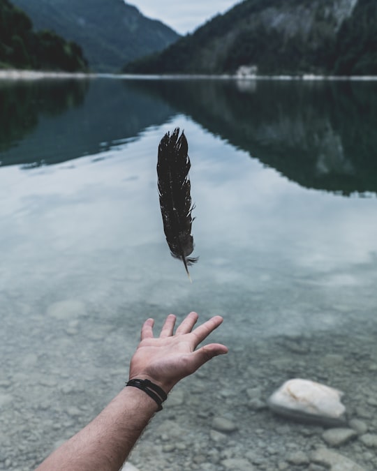
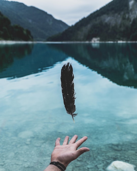
2 - Silvenstein Stausee
Learn more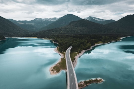
3 - Sylvensteinsee
Sylvenstein Dam is an earthen embankment dam in the Isar valley, in the alpine part of Upper Bavaria, Germany which impounds the Sylvenstein Reservoir.
Learn more Book this experience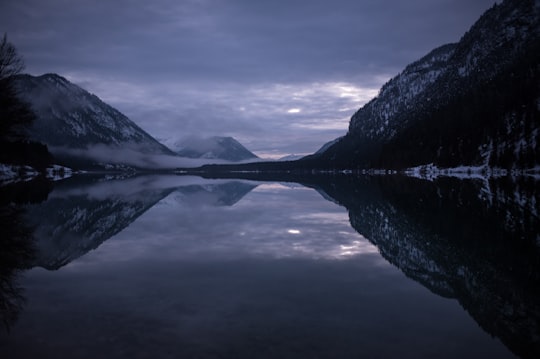
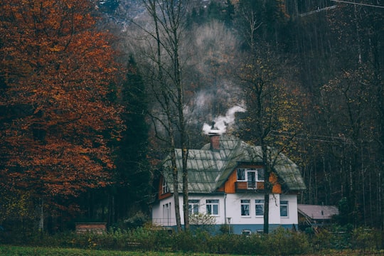
4 - Altjoch
16 km away
Learn more
5 - Walchensee
18 km away
Walchensee or Lake Walchen is one of the deepest and largest alpine lakes in Germany, with a maximum depth of 192.3 metres and an area of 16.4 square kilometres. The lake is 75 kilometres south of Munich in the middle of the Bavarian Alps. The entire lake, including the island of Sassau, is within the municipality of Kochel. Landowner of the lake and island area is the Bavarian State. To the east and the south, the lake borders the municipality of Jachenau.
Learn more Book this experience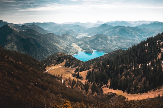
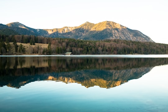
6 - Herzogstand
18 km away
The Herzogstand is a mountain in the Bavarian foothills of the Alps, 75 kilometres south of the city of Munich. It has an elevation of 1,731 metres and is northwest of Lake Walchen.
Learn more Book this experience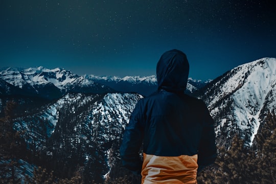
7 - Bad Wiessee
20 km away
Bad Wiessee is a municipality in the district of Miesbach in Upper Bavaria in Germany. Since 1922, it has been a spa town and located on the western shore of the Tegernsee Lake. It had a population of around 4800 inhabitants in 2014.
Learn more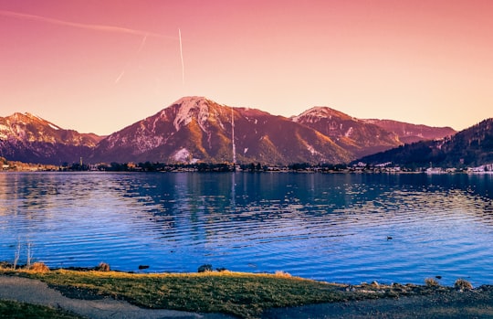
8 - Heimgarten
20 km away
Heimgarten is a mountain near Ohlstadt in the Bavarian Prealps of southern Germany. It is connected via a ridge with Herzogstand to the east.
Learn more Book this experience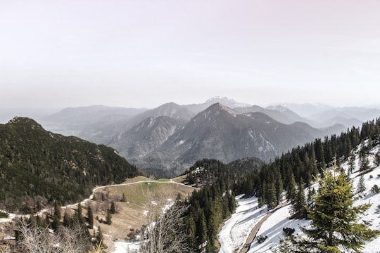
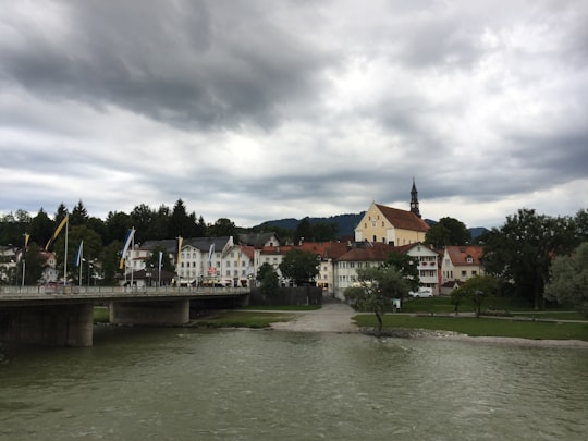
9 - Wirtshaus Zum Starnbräu
20 km away
Learn more
10 - Wallberg
22 km away
Wallberg is a mountain in the Mangfallgebirge, part of the Bavarian Alps in the south of Bavaria, Germany.
Learn more Book this experience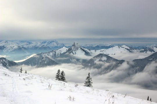
11 - Roßkopf
26 km away
Roßkopf is a mountain of Hesse, Germany.
Learn more Book this experience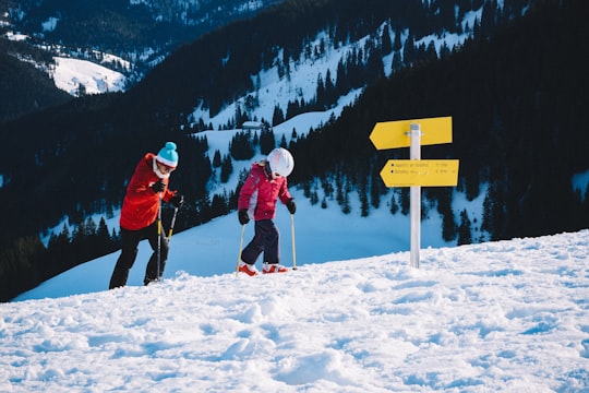
12 - Schliersee
29 km away
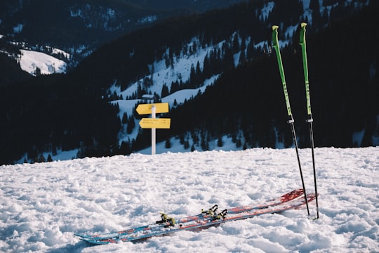
Schliersee is a small town and a municipality in the district of Miesbach in Bavaria in Germany. It is named after the nearby Lake Schliersee. It comprises the districts Schliersee, Westenhofen, Neuhaus, Fischhausen, Josefsthal and Spitzingsee.
Learn more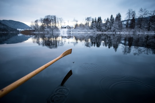
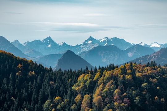
13 - Garmisch-Partenkirchen
33 km away
Garmisch-Partenkirchen is a ski town in Bavaria, southern Germany. It is the seat of government of the district of Garmisch-Partenkirchen, in the Oberbayern region, which borders Austria. Nearby is Germany's highest mountain, Zugspitze, at 2,962 m. The town is known as the site of the 1936 Winter Olympic Games.
Learn more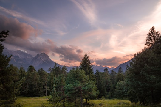
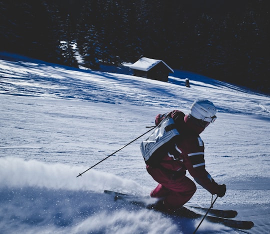
14 - Oberammergau
33 km away
Oberammergau is a municipality in the district of Garmisch-Partenkirchen, in Bavaria, Germany. The small town on the Ammer River is known for its woodcarvers and woodcarvings, for its NATO School, and around the world for its 380-year tradition of mounting Passion Plays.
Learn more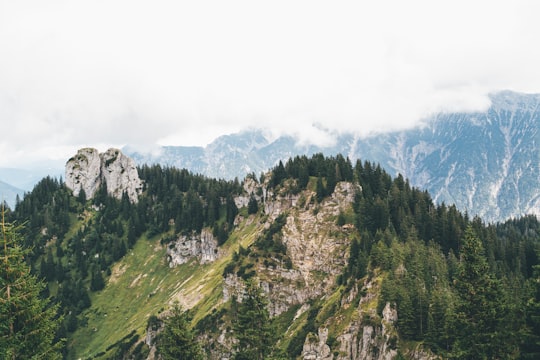
15 - Ettal
34 km away
Ettal is a German municipality in the district of Garmisch-Partenkirchen, in Bavaria.
Learn more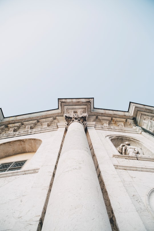
16 - Partnachklamm
34 km away
The Partnach Gorge is a deep gorge that has been incised by a mountain stream, the Partnach, in the Reintal valley near the south German town of Garmisch-Partenkirchen. The gorge is 702 metres long and, in places, over 80 metres deep. It was designated a natural monument in 1912.
Learn more Book this experience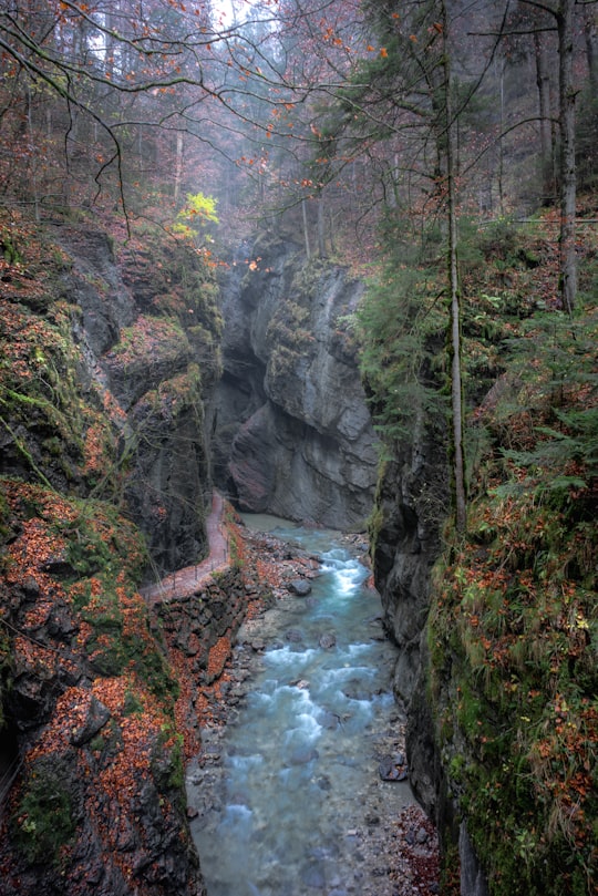
17 - Bayerische Zugspitzbahn Bergbahn AG
35 km away
The Bavarian Zugspitze Railway is one of four rack railways still working in Germany, along with the Wendelstein Railway, the Drachenfels Railway and the Stuttgart Rack Railway.
Learn more Book this experience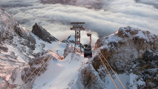
18 - Meilerhütte
36 km away
Learn more
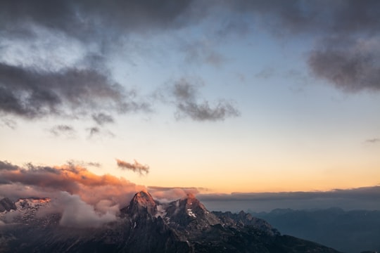
19 - Wettersteingebirge
37 km away
The Wetterstein mountains, colloquially called Wetterstein, is a mountain group in the Northern Limestone Alps within the Eastern Alps.
Learn more Book this experience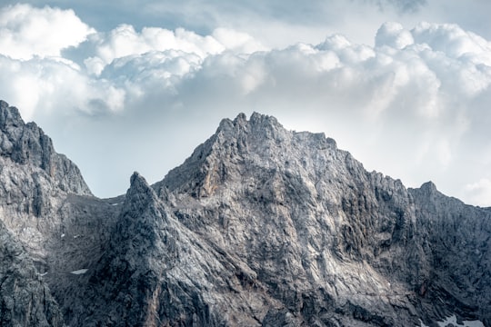
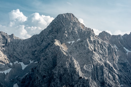
20 - Alpspitze
40 km away
The Alpspitze is a mountain, 2628 m, in Bavaria, Germany. Its pyramidal peak is the symbol of Garmisch-Partenkirchen and is one of the best known and most attractive mountains of the Northern Limestone Alps.
Learn more Book this experience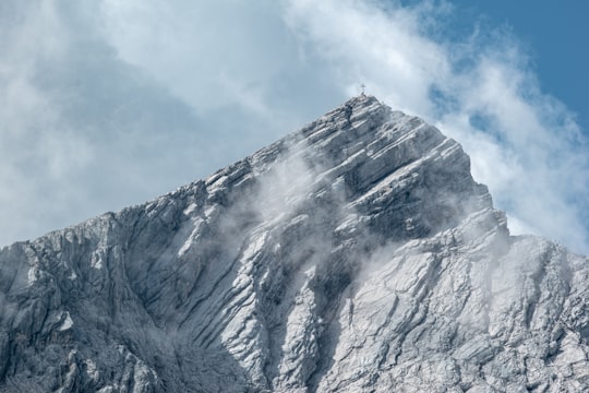
Book Tours and Activities in Sylvenstein Dam
Discover the best tours and activities around Sylvenstein Dam, Germany and book your travel experience today with our booking partners
Learn More about Sylvenstein Dam
The Sylvenstein Dam is a hydroelectric dam on the Isar River in Bavaria, Germany. The dam forms the Sylvenstein Reservoir, which is used for drinking water, irrigation, and flood control. The reservoir is also a popular recreation area, with hiking, camping, and fishing.
The best travel experience in Sylvenstein Dam, Germany is definitely visiting the dam itself. The dam is an impressive structure and it is interesting to see how it works. There are also many other attractions in the area, such as the nearby mountain biking trails.
Where to Stay near Sylvenstein Dam
Discover the best hotels around Sylvenstein Dam, Germany and book your stay today with our booking partner booking.com
More Travel spots to explore around Sylvenstein Dam
Click on the pictures to learn more about the places and to get directions
Discover more travel spots to explore around Sylvenstein Dam
🏞️ River spots ❄️ Glacial lake spots ⛰️ Highland spots ⛰️ Hill spots 🐾 Wildlife spotsTravel map of Sylvenstein Dam
Explore popular touristic places around Sylvenstein Dam
Download On Google Maps 🗺️📲
